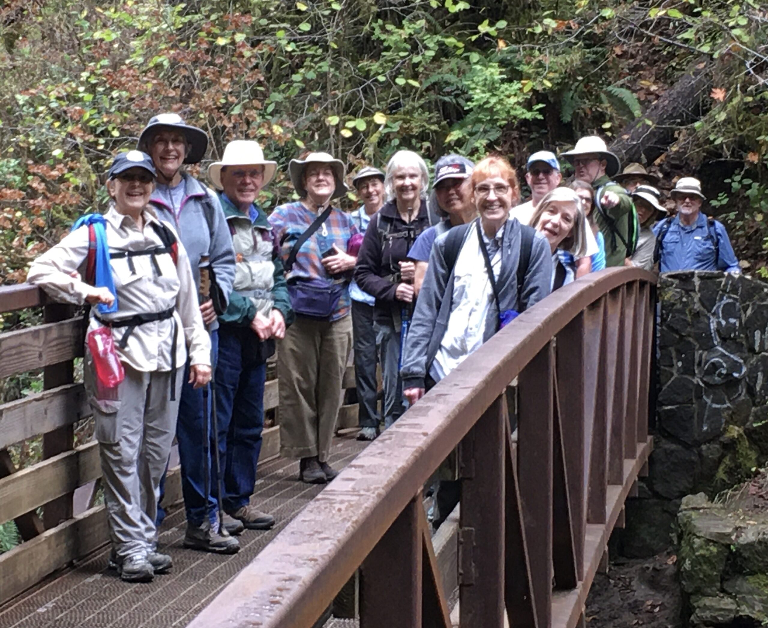
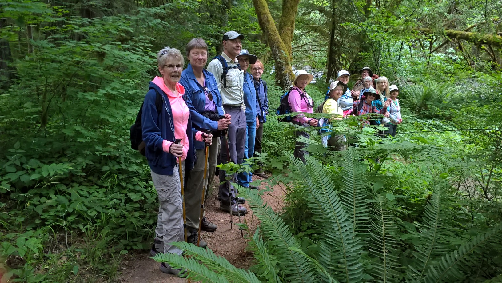
Monday Hiking


Clark County Newcomers Club - Monday Hikes for 2026
Below is the list of hikes for the Monday Hikers for the 2026 season. This list could change due to unforeseen circumstances. The CCNC website (clarkcountynewcomers.com) will have the most up to date information.
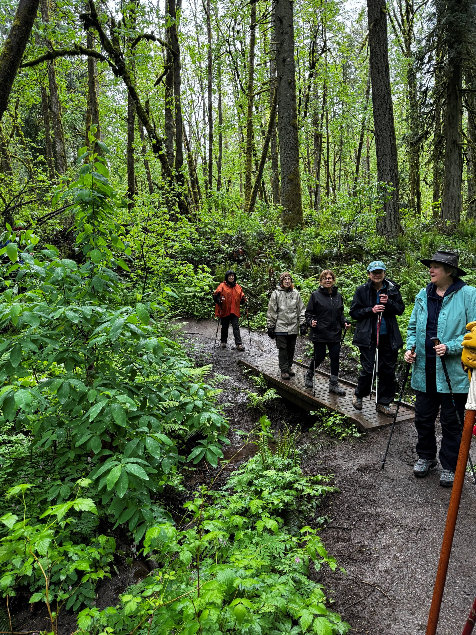
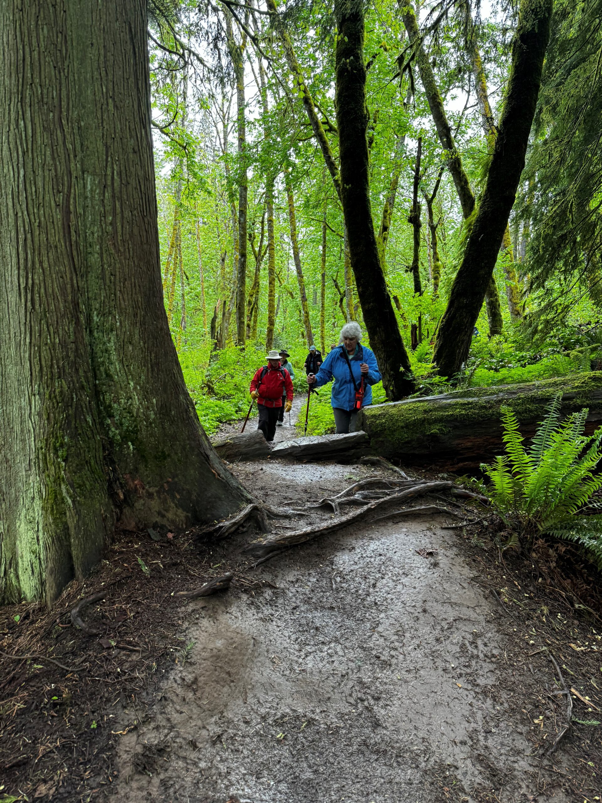
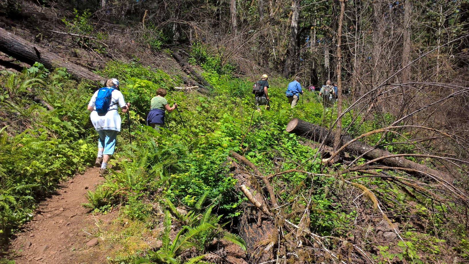
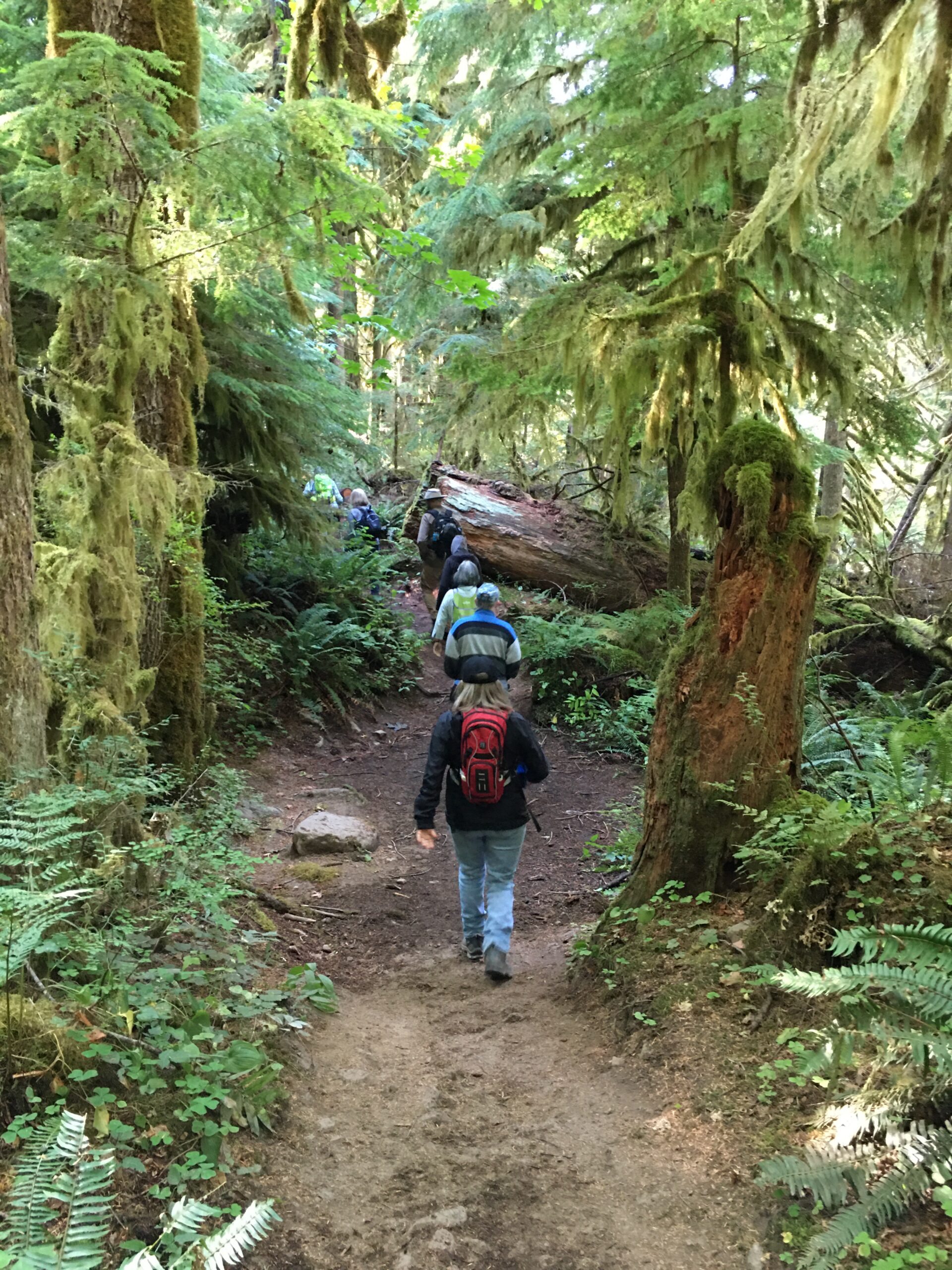
Monday hikes are considered easy or moderate by hiking manual standards, usually less than 6 miles, with less than a 1,000 ft. elevation gain. However, the CCNC Monday Hike ratings are not necessarily the same as found in trail books. Please note the distance and elevation gain for each hike. A good test for elevation-gain endurance is if you can climb up and down a staircase multiple times consecutively and breathing is not overly stressed. You should also be able to maintain a 20-minute mile pace on level ground.
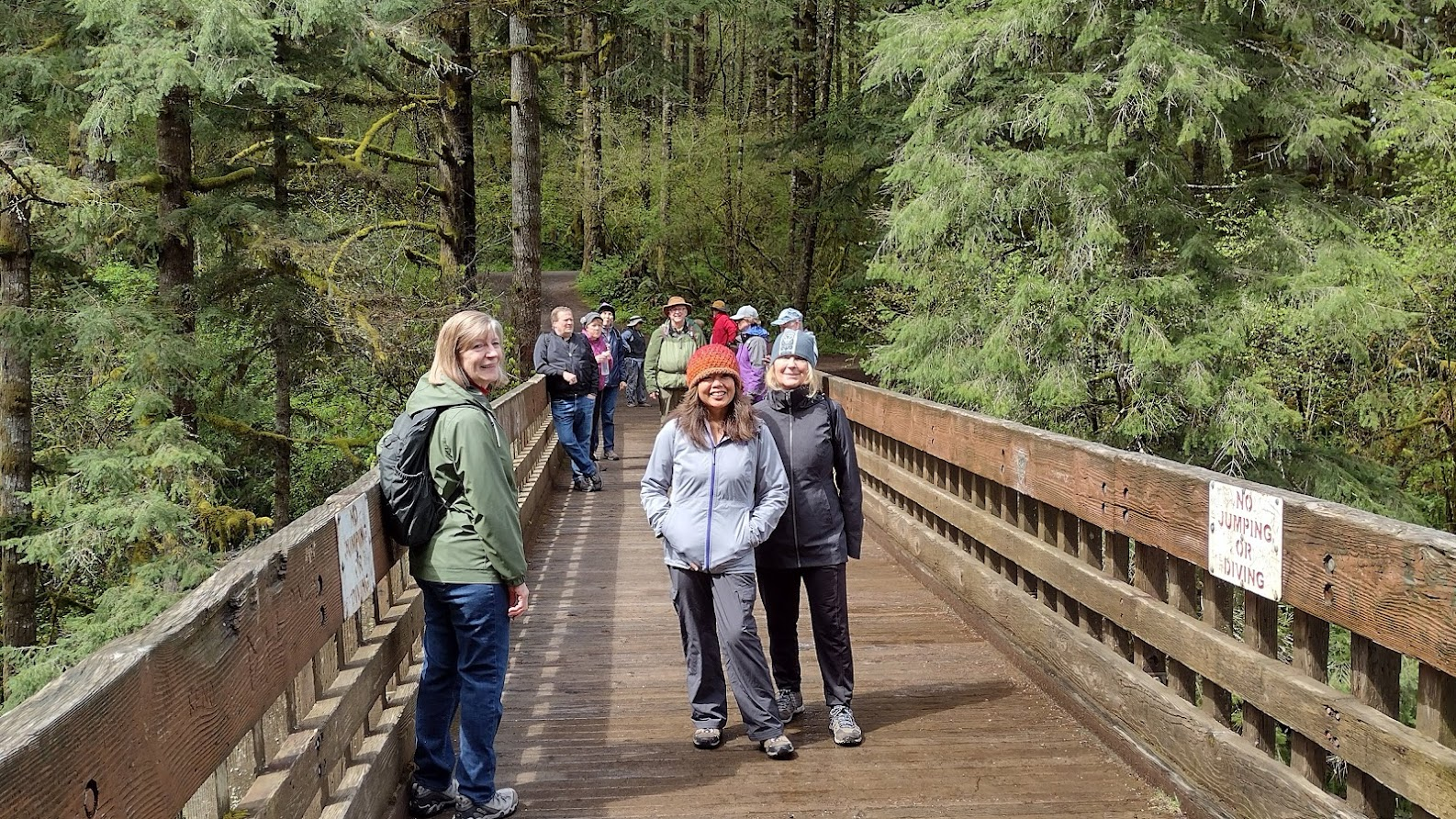
Hikes are planned on Mondays from April to mid-October. For general information regarding Monday hiking, to be added to or deleted from the Monday hiking roster, or to change your contact information contact Cathy Darragh.
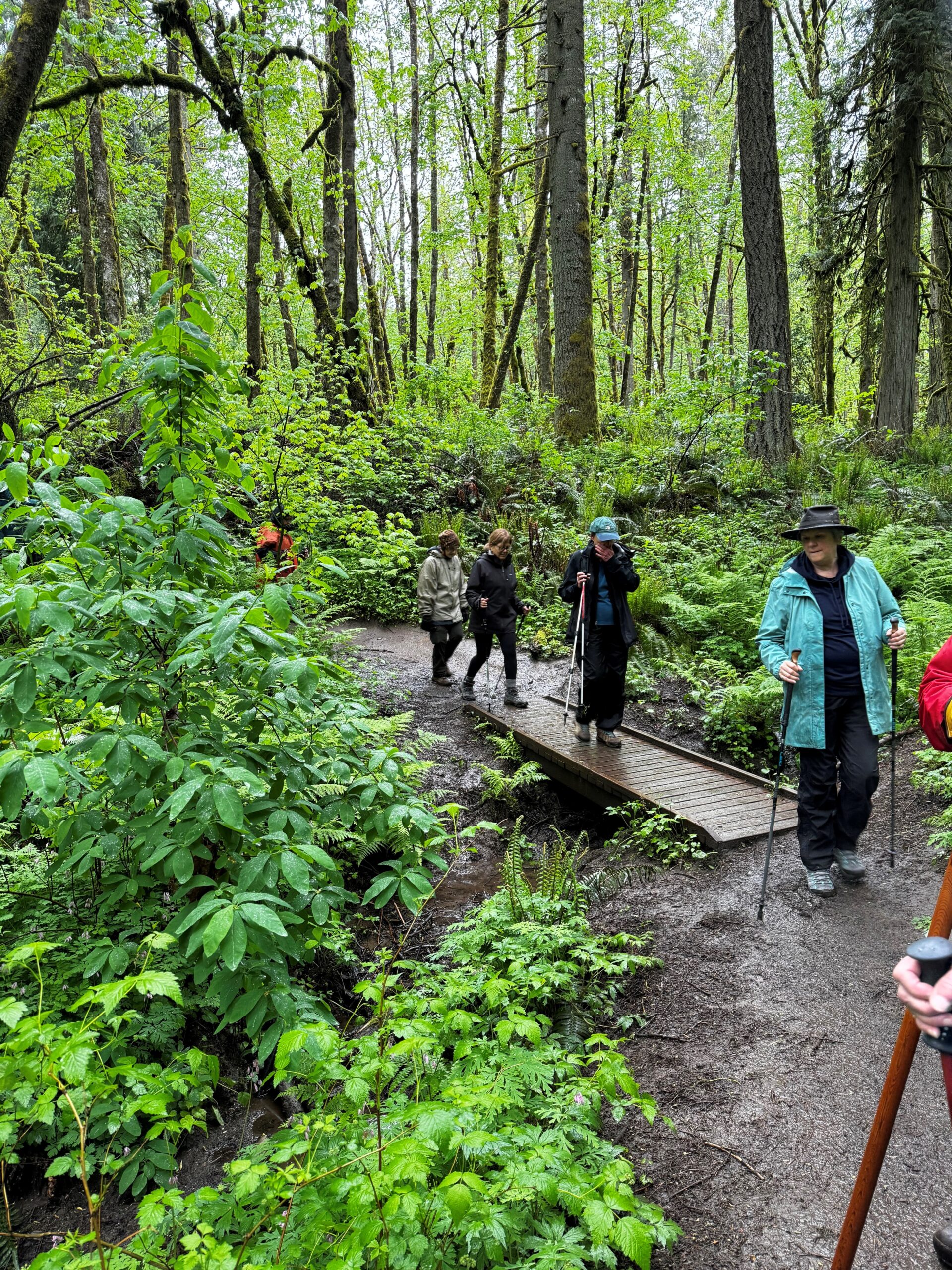
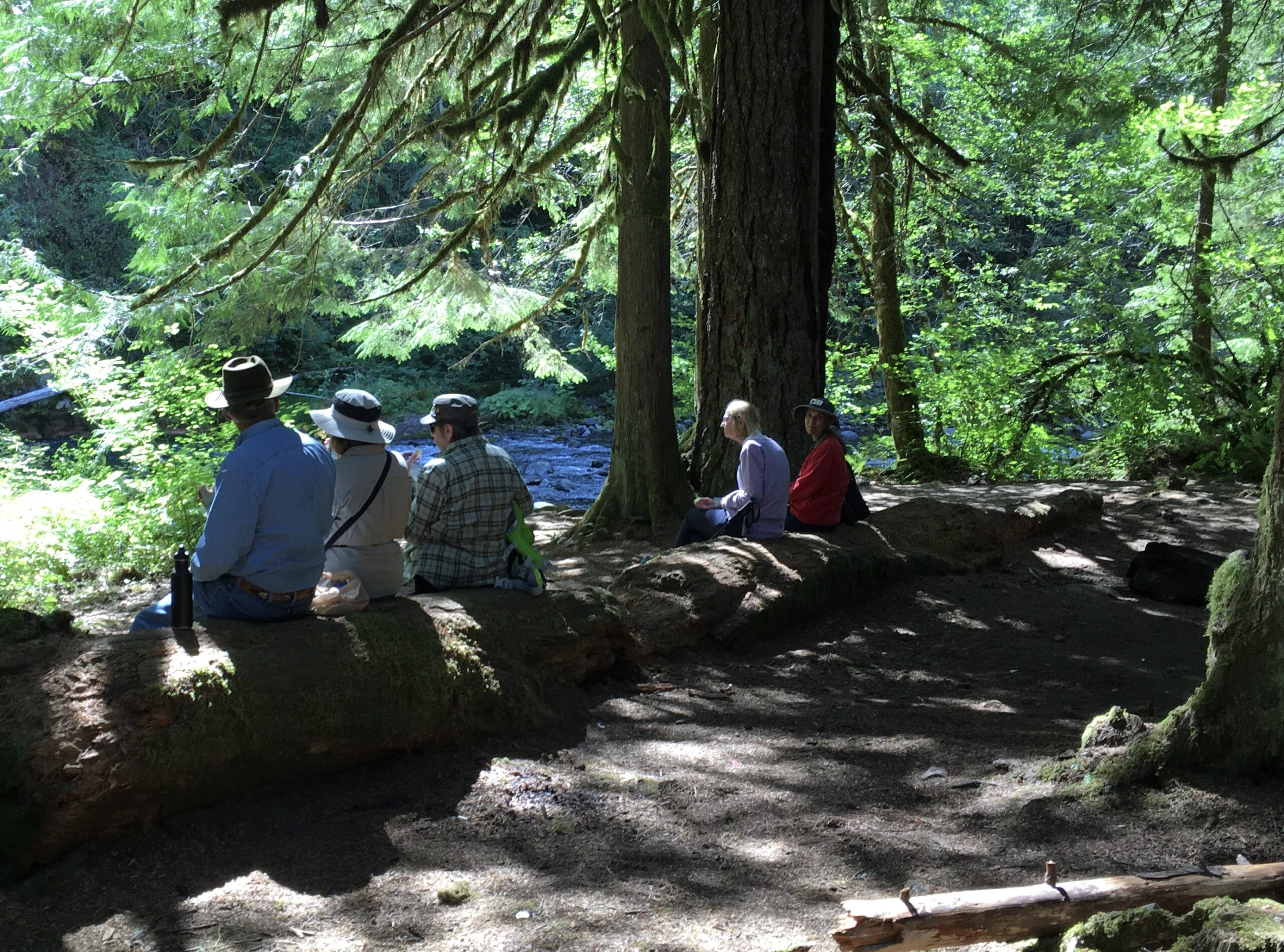
For each individual hike, there is a designated hike leader. ALL HIKERS ARE REQUIRED TO NOTIFY THE HIKE LEADER IF THEY ARE PLANNING TO HIKE by 3PM Sunday. Call or email the hike leader sometime during the week before the hike, not sooner than that. Leave your cell phone number and state where you will be meeting the group if there is a choice. If you plan to bring any guests, you must give the Hike Leader their names. All guests must sign a disclaimer form. You will receive a reply from the leader acknowledging your email or call. (If you text, you must sign your name to the text.) For safety reasons, there must be a minimum of 4 hikers signed up (including the Hike Leader) for a hike to take place. If weather or other unforeseen circumstances cause a hike to be cancelled, the hike leader will send out an e-mail Sunday evening (the night before the hike). If you need to cancel, contact the hike leader so the group is not waiting for you Monday morning.
Carpooling from a local meeting point to a trailhead is an option for most hikes and driving yourself to the trailhead is always an option. We will either stop in route to use bathroom facilities or use them at the trailhead.
It is required that the passengers contribute to the driver at a rate of $.35/mile/vehicle as fuel reimbursement. The total amount is split by all in the car, including the driver. Also, the cost of any necessary day pass to park for a hike must be shared by all in the car (i.e., Silver Falls & Beacon Rock & Vancouver Lake, Battle Ground Lake SP). Bring small bills for payment.
In the spirit of sharing cost, in the unlikely event of vandalism at the trailhead to one of our cars, everyone who hiked that day will share in the cost of the out-of-pocket expense incurred. To reduce risk of vandalism, please don’t bring extra items to leave in the vehicle at the trailhead except for an extra pair of shoes to wear after hiking. Drivers will instruct you where and how to leave your shoes in the vehicle.
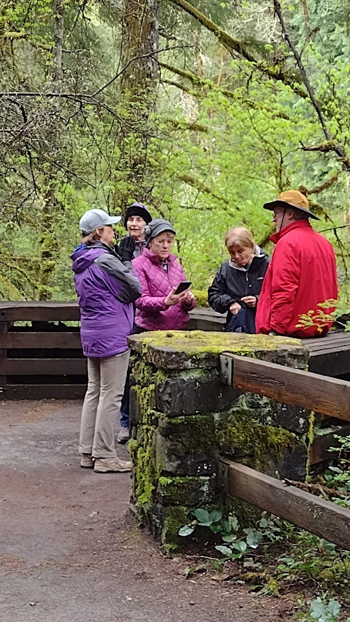
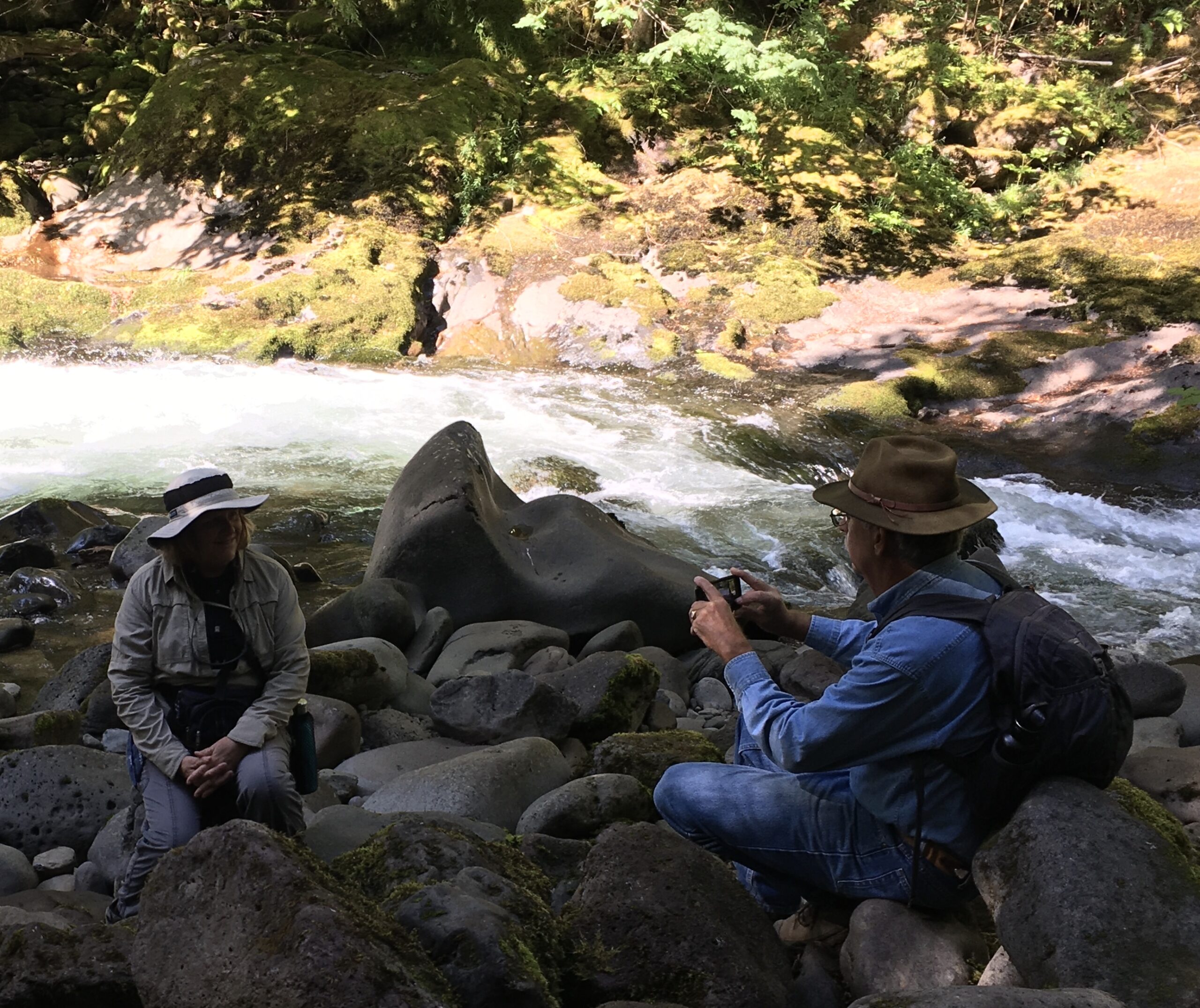
Dogs are not permitted on Monday hikes.
All hikers must come equipped to do the hike safely and comfortably, which means:
-
-
Sturdy footwear suitable for hiking.
-
Second pair of shoes for the car, plus plastic bag for muddy hiking footwear.
-
Plenty of water.
-
Daypack with lunch/snacks.
-
Hiking poles for all but the most level hikes – highly recommended.
-
Rain gear if weather conditions are uncertain.
-
Sun hat and/or sunscreen.
-
Long pants are recommended due to the possibility of poison oak, brambles, ticks, etc. along some hiking trails.
-
Personal first-aid kit is recommended. Do not rely on the leader to have one.
-
Expectation is that hikers will be at the carpool spot on time.
-
Have the leader’s cell phone # with you.
-
Non-CCNC Members
The Monday hiking group welcomes new members. If you are not already a CCNC member, as per Club policy, you are welcome to sample three activities before joining. As hiking carries certain inherent risks, please complete the attached liability waiver and send it to Monday Hiking Group.
To sign up for a hike click on the hike and then the hike leader's name (in blue).
April 20 Fort Cascades National Historic Site at Bonneville Dam
This is an easy loop walk next to or near the Columbia River with minimal elevation gain. We will start near the west end of the loop, continue further west to have a view of Beacon Rock, then make our way east to the Fort for a picnic lunch. We return along the river to our cars. Hoping to see wildflowers along the way. Vault toilet at parking area and lunch area. Meet at 8:30 at Pendleton Woolen Mill in Washougal (2 Pendleton Way, SW corner of the parking lot).
-
Trail Stats: Easy 5.4 miles, 150' elevation gain
-
Hike Leader: Jan White
-
Carpooling Fee: $17 per vehicle shared by passengers and driver
-
Trailhead: At west end of Ft. Cascades Dr. at Bonneville Dam
-
Parking Pass: None
April 27 Lake Sacajawea Hike in Longview
This is an urban hike around the lake in a beautiful park setting with blooming rhododendrons, a Japanese garden, and more. To carpool meet at 9:15 at Safeway (14300 NE 20th Ave at the left end of the lot by Starbucks). To drive yourself meet at 10:00 at 2318 Kessler Blvd, Longview. Park along Kessler Blvd on the lake side of the road. After the hike a suggestion is to stop for lunch at McMenamins in Kalama, walk along the riverwalk, visit the Port of Kalama Museum there, and take in the new Mountain Timber Market featuring local artisans. Carpool accordingly.
-
Trail Stats: Easy 3.6 miles, no elevation gain
-
Hike Leader: Bill Baird
-
Carpooling Fee: $20 per vehicle shared by passengers and driver
-
Trailhead: Lake Sacajawea in Longview near 2318 Kessler Blvd.
-
Parking Pass: None
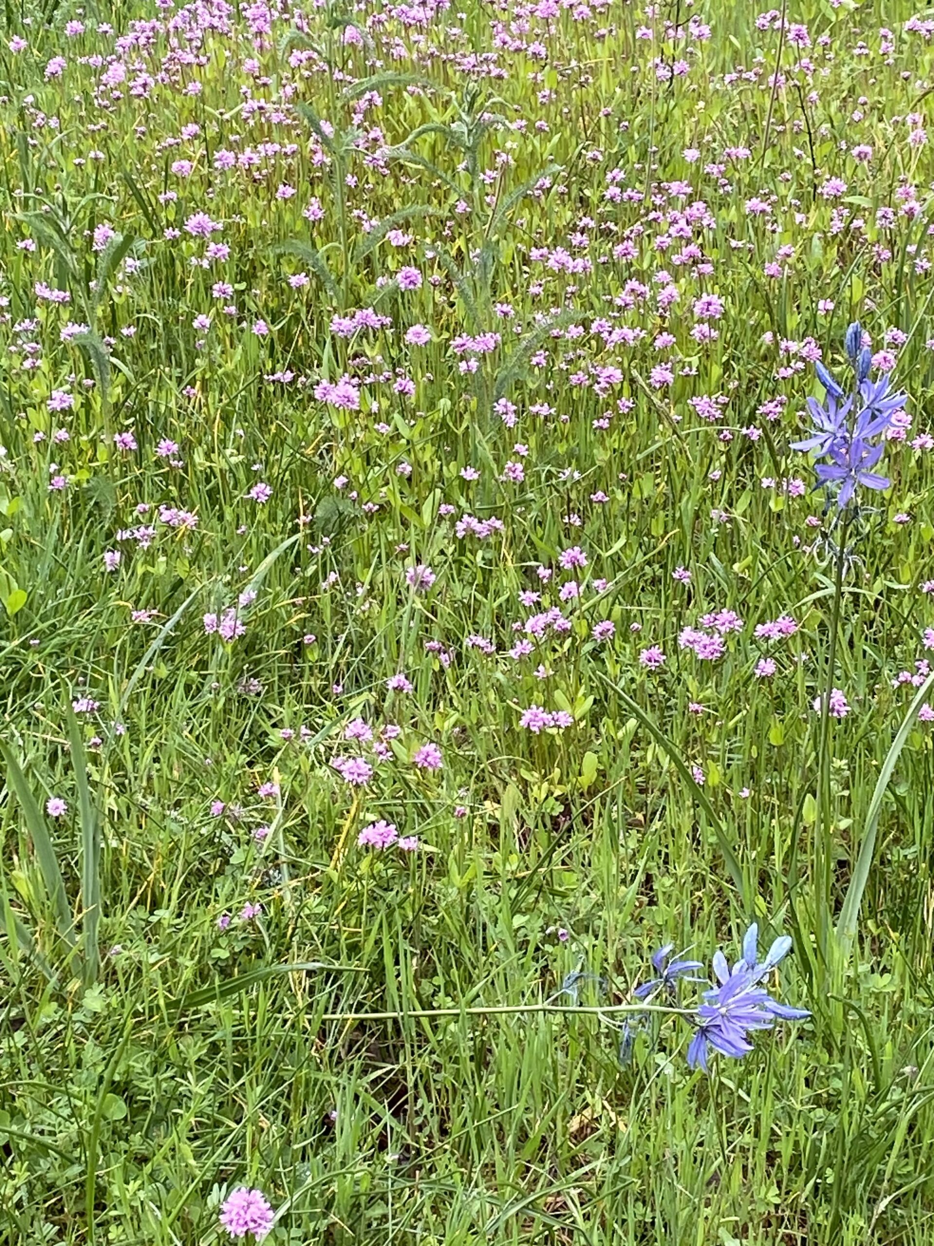
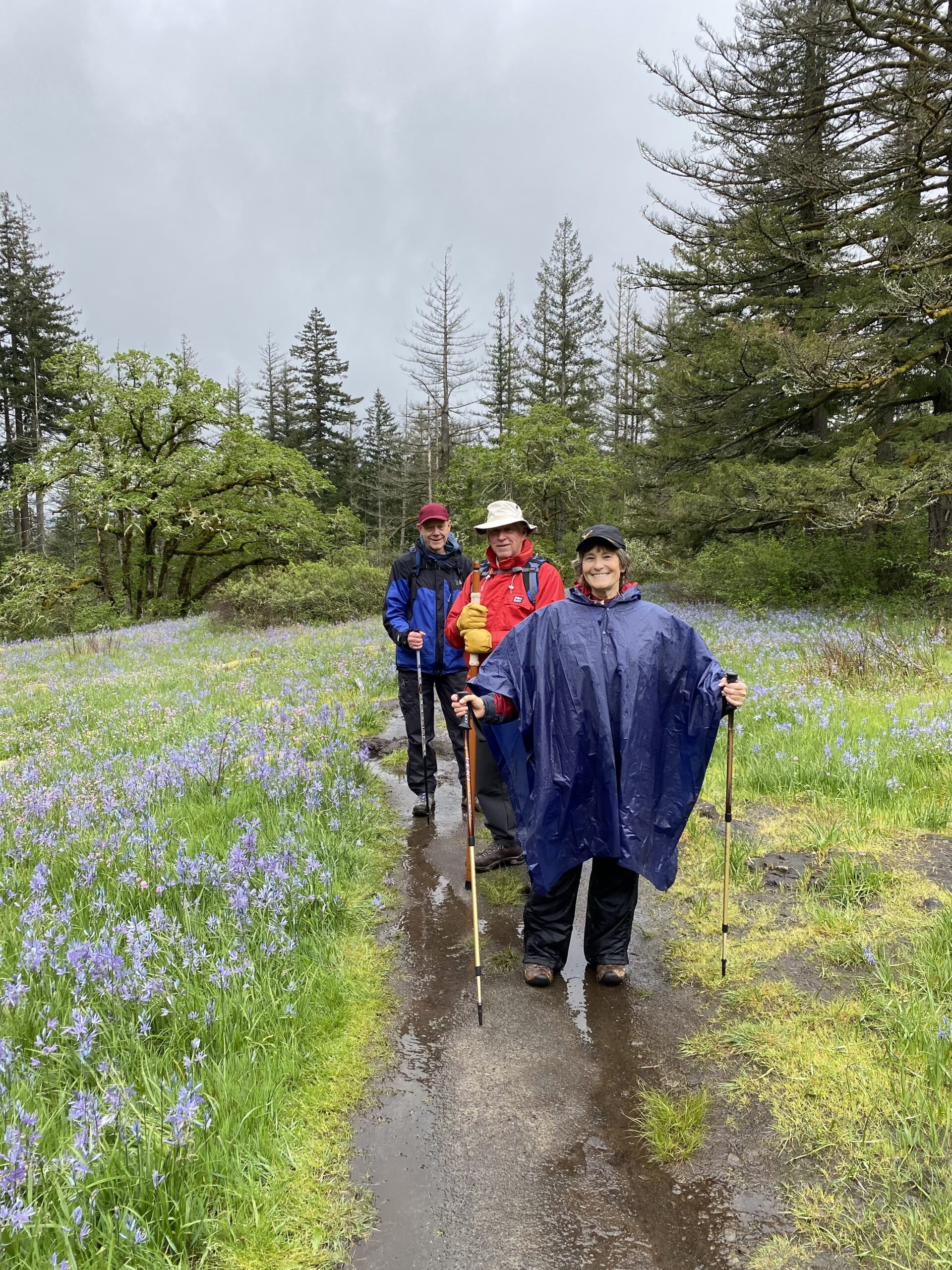
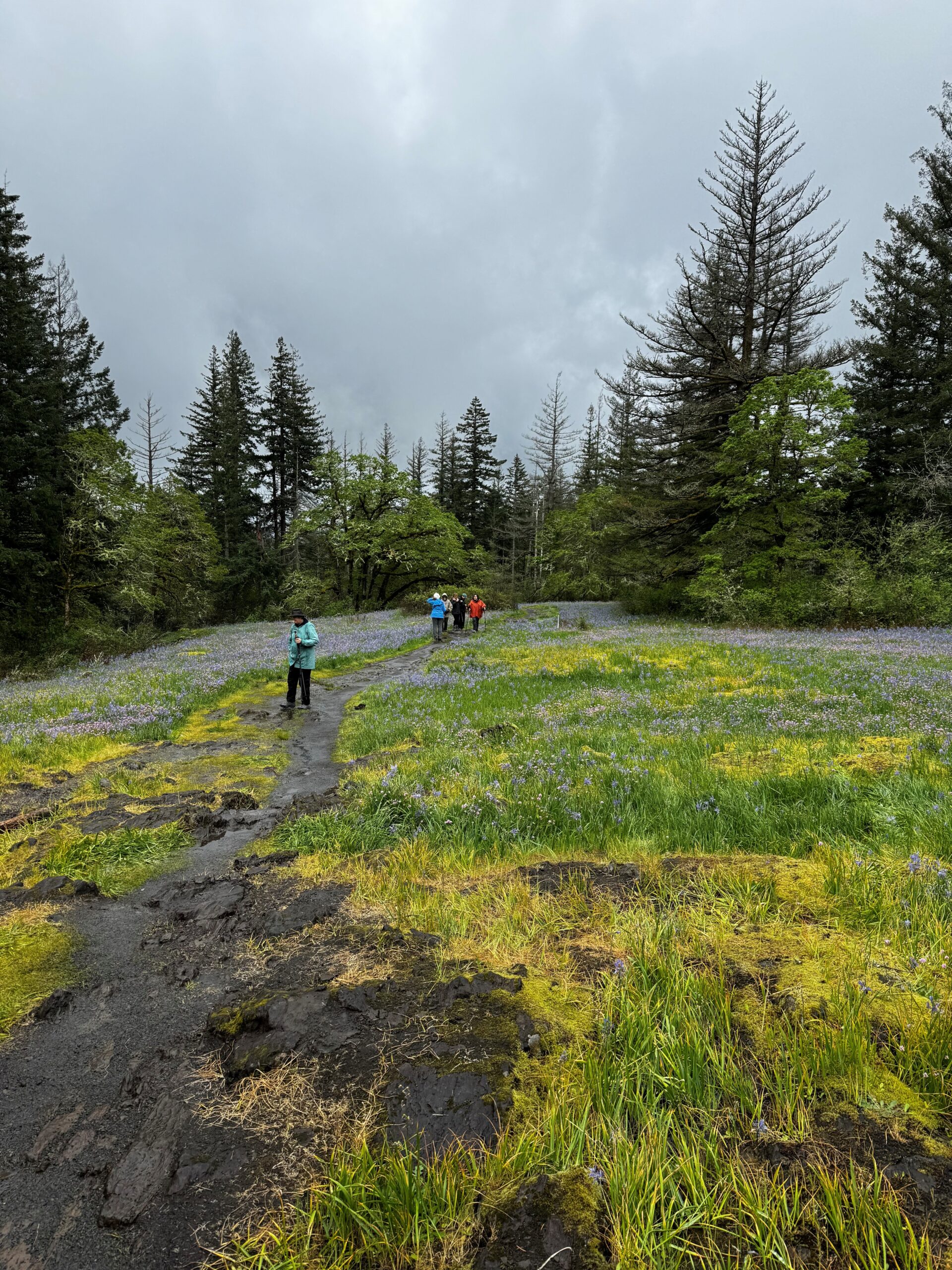
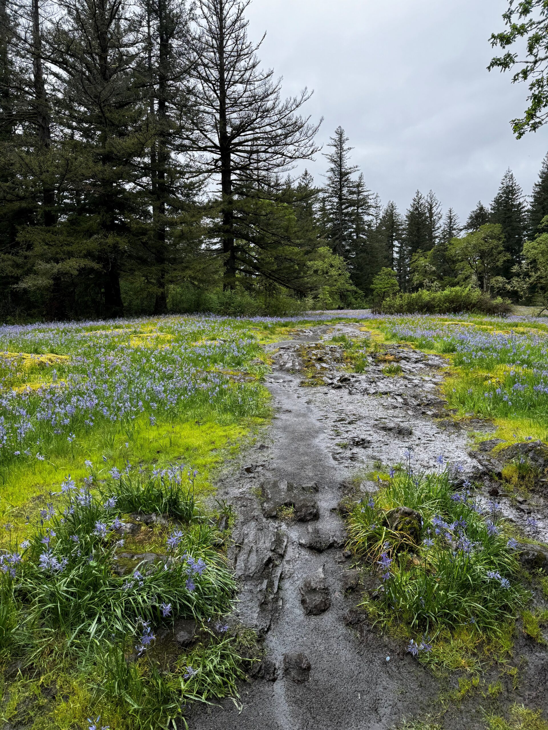
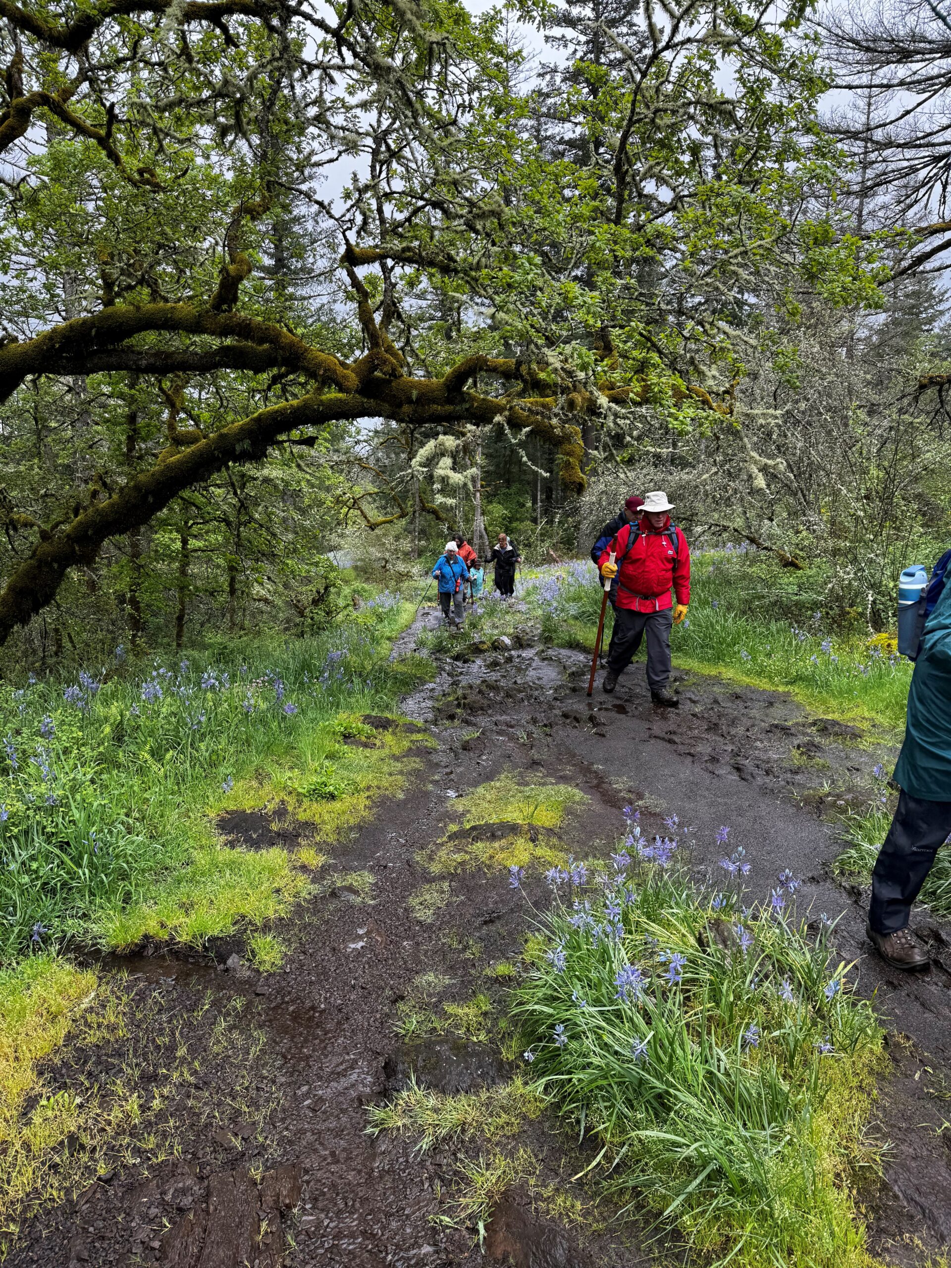
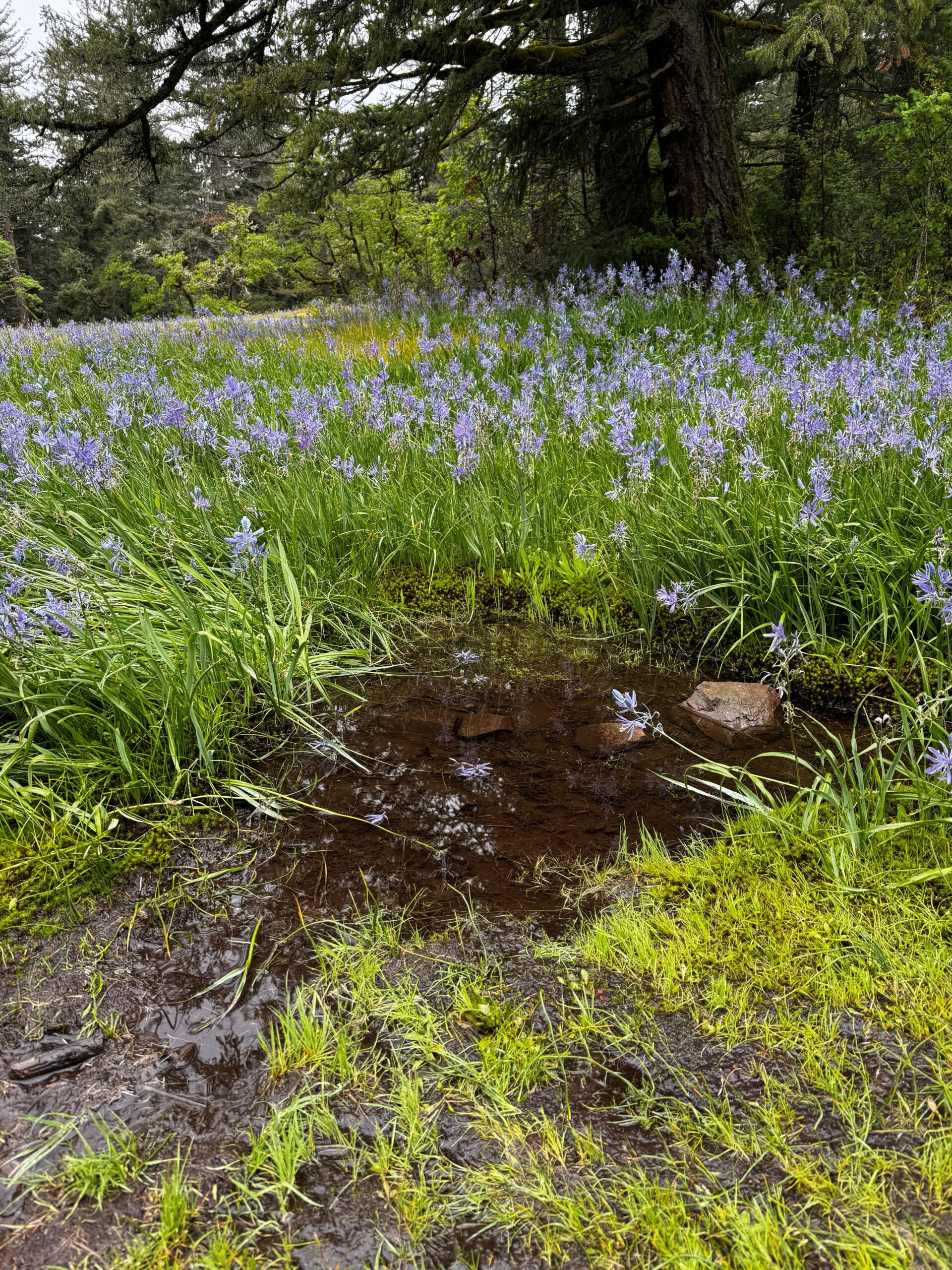
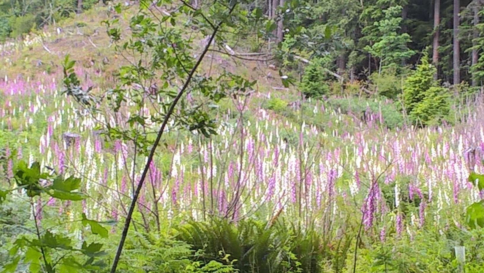
May 4 Lacamas Creek Trail to Round Lake in Camas, Camas Lilies
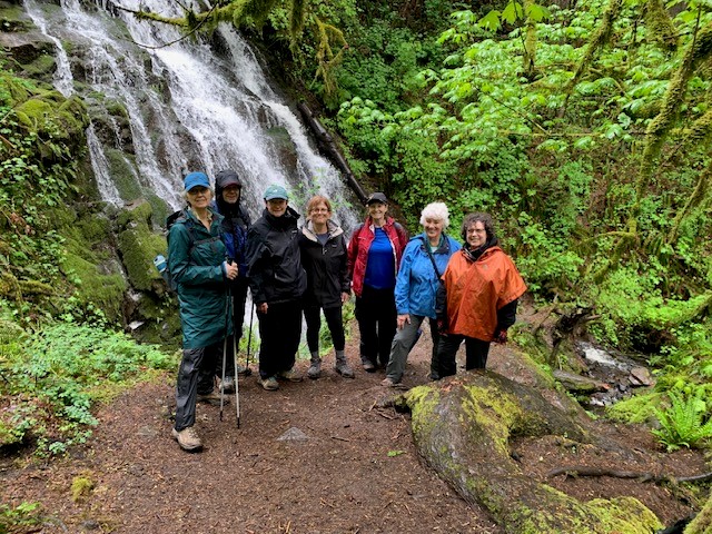
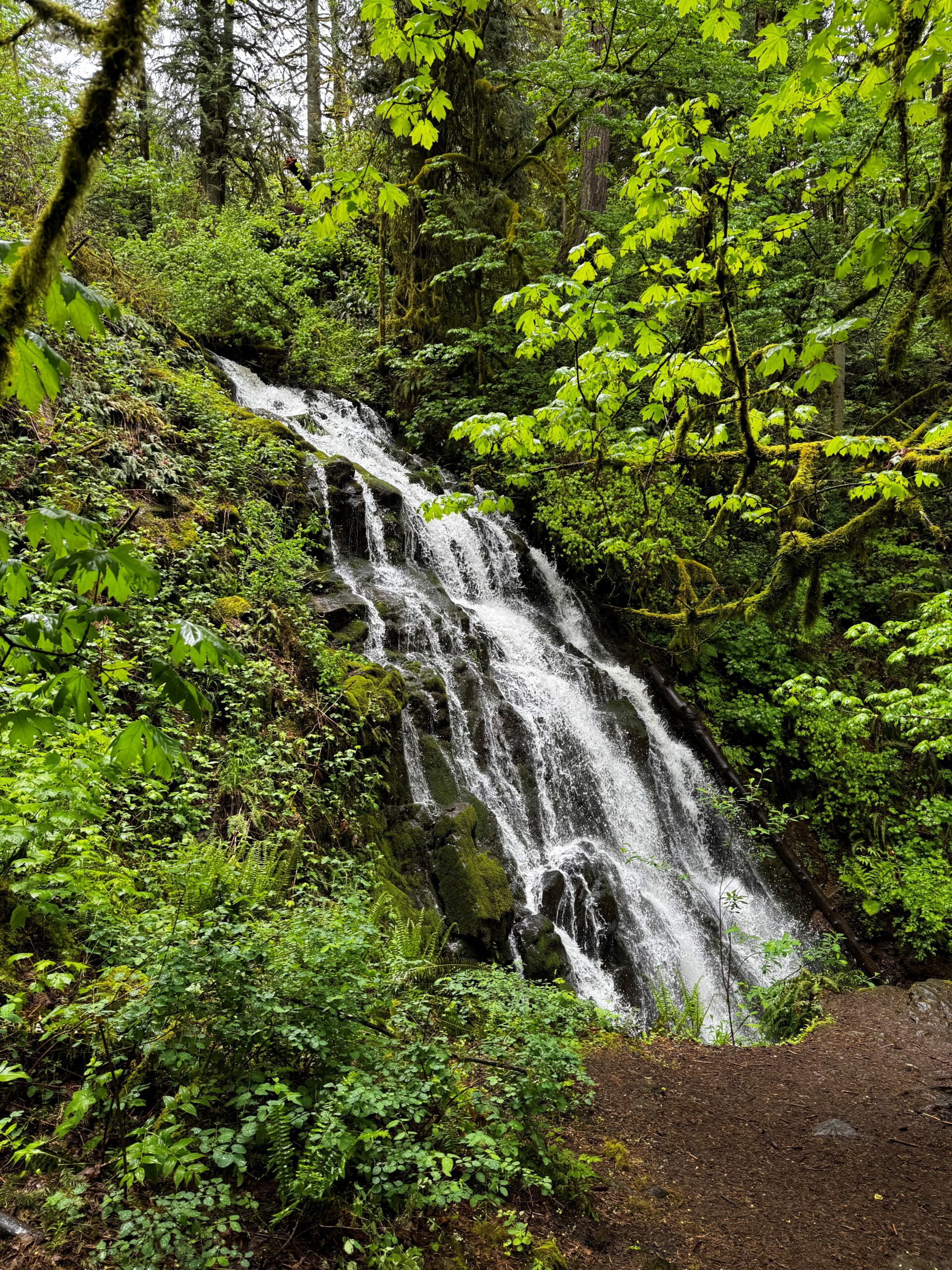
A hike on a network of trails in dense forest, passing some waterfalls on the creek, going alongside Round Lake, and enjoying the April/May blooming of the famous Camas Lilies. This trail does have some rocky and steeper sections which can also be slippery if wet. Bring a snack if desired. Meet at 9:00 at Lacamas Creek Trailhead at 1641 NE 3rd Ave., Camas.
-
Trail Stats: Moderate 5 miles, 400’ elevation gain
-
Hike Leader: Elizabeth Boisvert
-
Carpooling Fee: No organized carpooling
-
Trailhead: Lacamas Creek Trailhead at 1641 NE 3rd Ave., Camas
-
Parking Pass: None
ESC to return
May 11 Vancouver Lake to Frenchman’s Bar
This is a flat, paved walk of approximately 6.5 miles. We start at Vancouver Lake Park, walk out to Frenchman's Bar Park, enjoy the view of the Columbia River, have a snack, use bathrooms, and walk back. Meet at 9:00 in the parking lot for Vancouver Lake Park near the facilities. (6801 NW Lower River Road, Vancouver).
-
Trail Stats: Moderate 6.5 miles, no elevation gain
-
Hike Leader: Carol Frizzell
-
Carpooling Fee: No organized car pooling
-
Trailhead: Vancouver Lake Parking Lot
-
Parking Pass: $5 day fee or County Park Pass
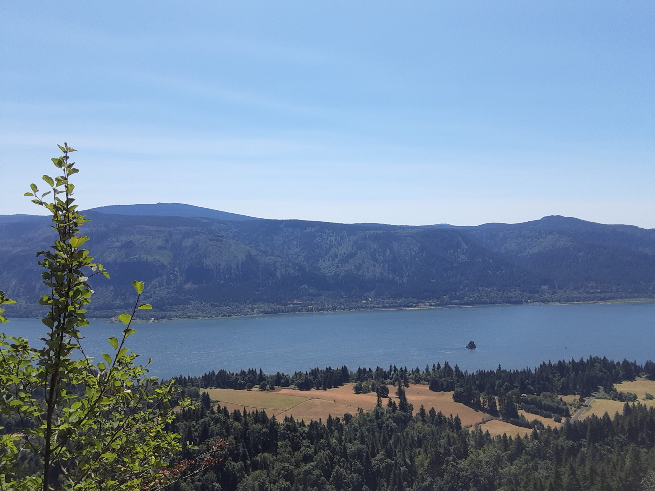
May 18 Bridal Veil and Latourell Falls
On this Columbia Gorge hike, we will first walk down to Bridal Veil Falls and back up to complete the flat Overlook Loop for 1.1 miles. Then it is on to Latourell Falls for a moderate 2.3-mile loop with 600 ft. in elevation gain. The falls plunge 249 feet over an eroded lava flow. Meet at 8:30 Fred Meyers (11325 SE Mill Plain Blvd, SW side by gas station).
-
Trail Stats: Moderate 3.4 miles, 600’ elevation gain
-
Hike Leader: Tammy Silver
-
Carpooling Fee: $20 per vehicle plus $12 Oregon parking fee shared by passengers and driver
-
Trailhead: Bridal Veil Falls and then Latourell Falls
-
Parking Pass: None
May 25 Memorial Day Holiday – No Hike
June 1 Eagle Creek
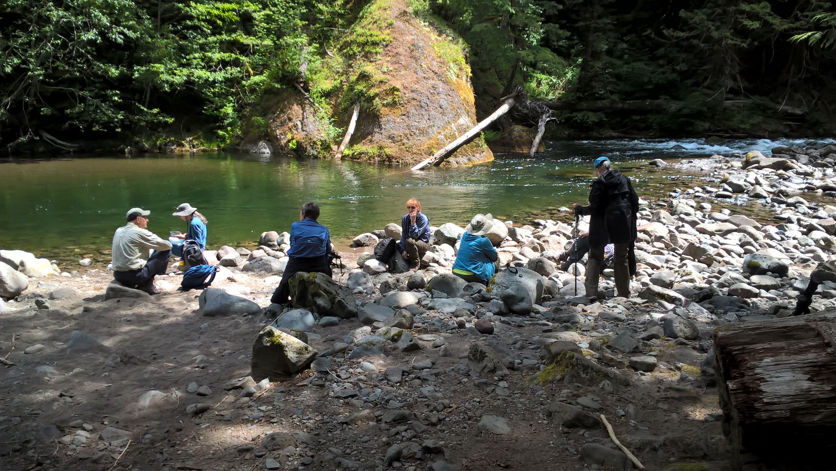
Hike to High Bridge on Eagle Creek trail in the Gorge area. In this stunning canyon there are cliff areas with a cable for handrails, numerous waterfalls, creek views, and hopefully wildflowers in bloom. This trail is very rocky and may be slippery when wet. On the return trip to the trailhead, we can, if desired, take a side trail about ¼ mile down to the beach at Punchbowl Falls. Meet at 8:30 at the Pendleton Woolen Mill in Washougal (2 Pendleton Way, SW corner of parking lot).
-
Trail Stats: Moderate 6.6 miles, 600’ elevation gain
-
Hike Leader: Kim Chenault
-
Carpooling Fee: $21 per vehicle + $6 toll fees shared by passengers and driver
-
Trailhead: Eagle Creek
-
Parking Pass: NW Forest Pass or Senior Pass
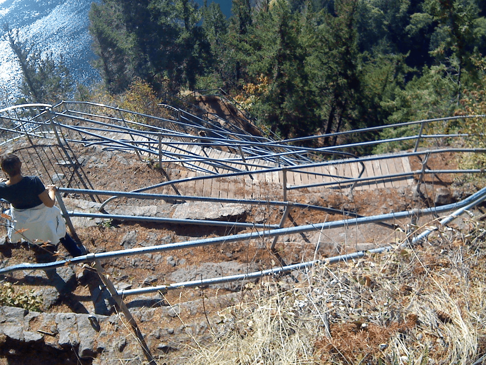
Canceled - June 8 Beacon Rock, and Hardy and Rodney Falls
The hike will begin at Beacon Rock parking lot. First, we will climb Beacon Rock for the best view of the Gorge. We will then drive a short distance to the trailhead for Hamilton Mountain and we will ascend to Hardy and Rodney Falls. From the lower trailhead, start off hiking on a wide path through tall trees and mosses, accompanied by twittering, flitting songbirds. Most of the elevation gain is in the first mile. Then the trail flattens out and traverses through more forest, passing small creeks and cascades. We will have lunch at the falls. Meet at 8:30 at the Pendleton Woolen Mill in Washougal (2 Pendleton Way, SW corner of the parking lot).
-
Trail Stats: Moderate/difficult 1.5 then 2.1 miles, 575’ then 644’ elevation gain
-
Hike Leader: Jon Thatcher & Siobhan Spencer
-
Carpooling Fee: $14 per vehicle + $10 WA Discover Day Pass fee shared as usual
-
Trailhead: Beacon Rock and Hamilton Mountain
-
Parking Pass: Washington Discover Pass

ESC to return
Canceled - June 15 Cape Horn
A round trip hike to Nancy Russell Overlook. Hike up through a deciduous and evergreen forest on a trail with some switchbacks. Enjoy a fantastic view of the Columbia River Gorge at the top. Meet 8:30 at Pendleton Woolen Mill in Washougal (2 Pendleton Way, SW corner of parking lot).
-
Trail Stats: Moderate 5.2 miles, 800’ elevation gain
-
Hike Leader: Patty Cromwell
-
Carpooling Fee: $7 per vehicle shared by passengers and driver
-
Trailhead: Cape Horn
-
Parking Pass: None
ESC to return
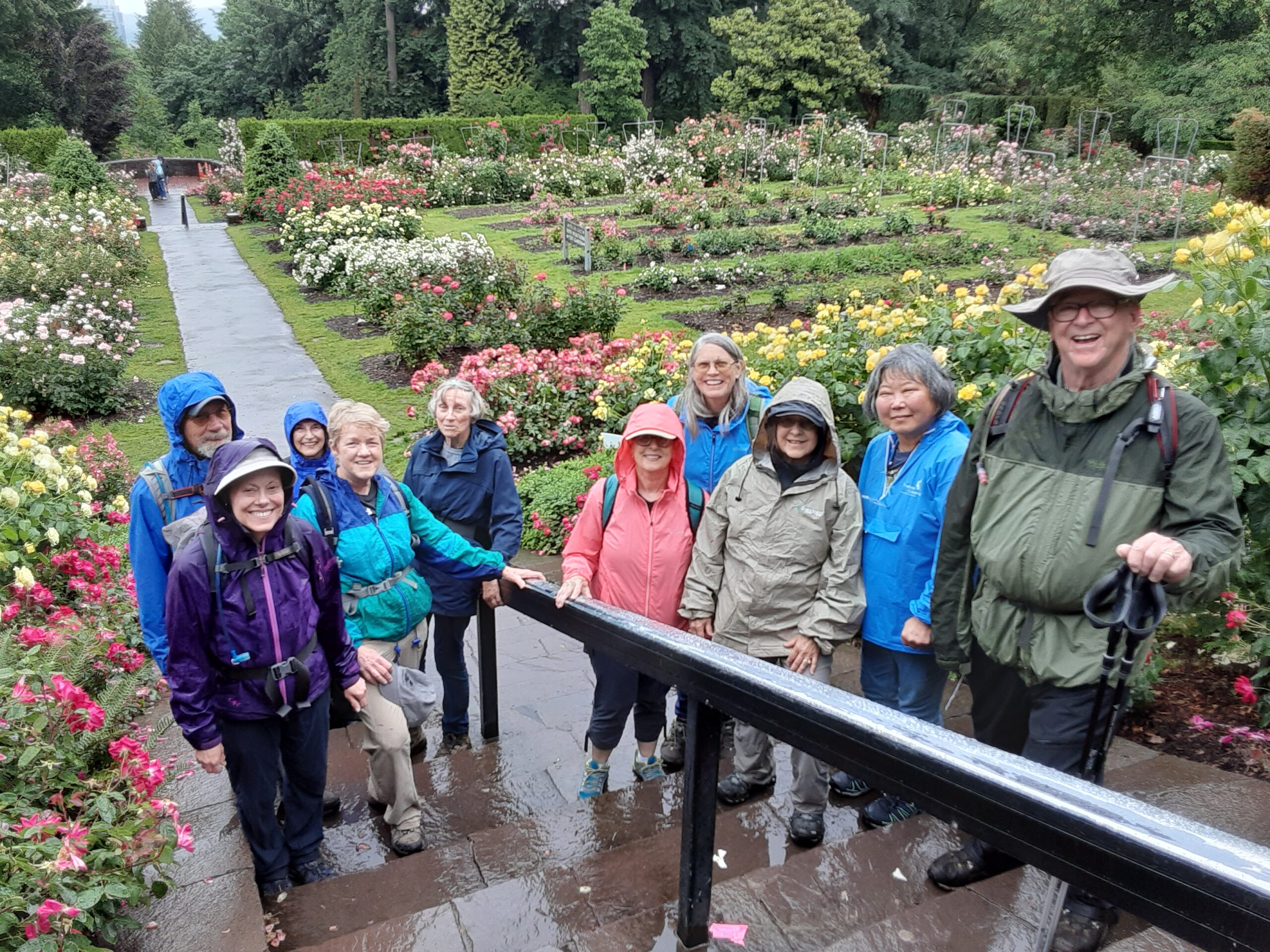
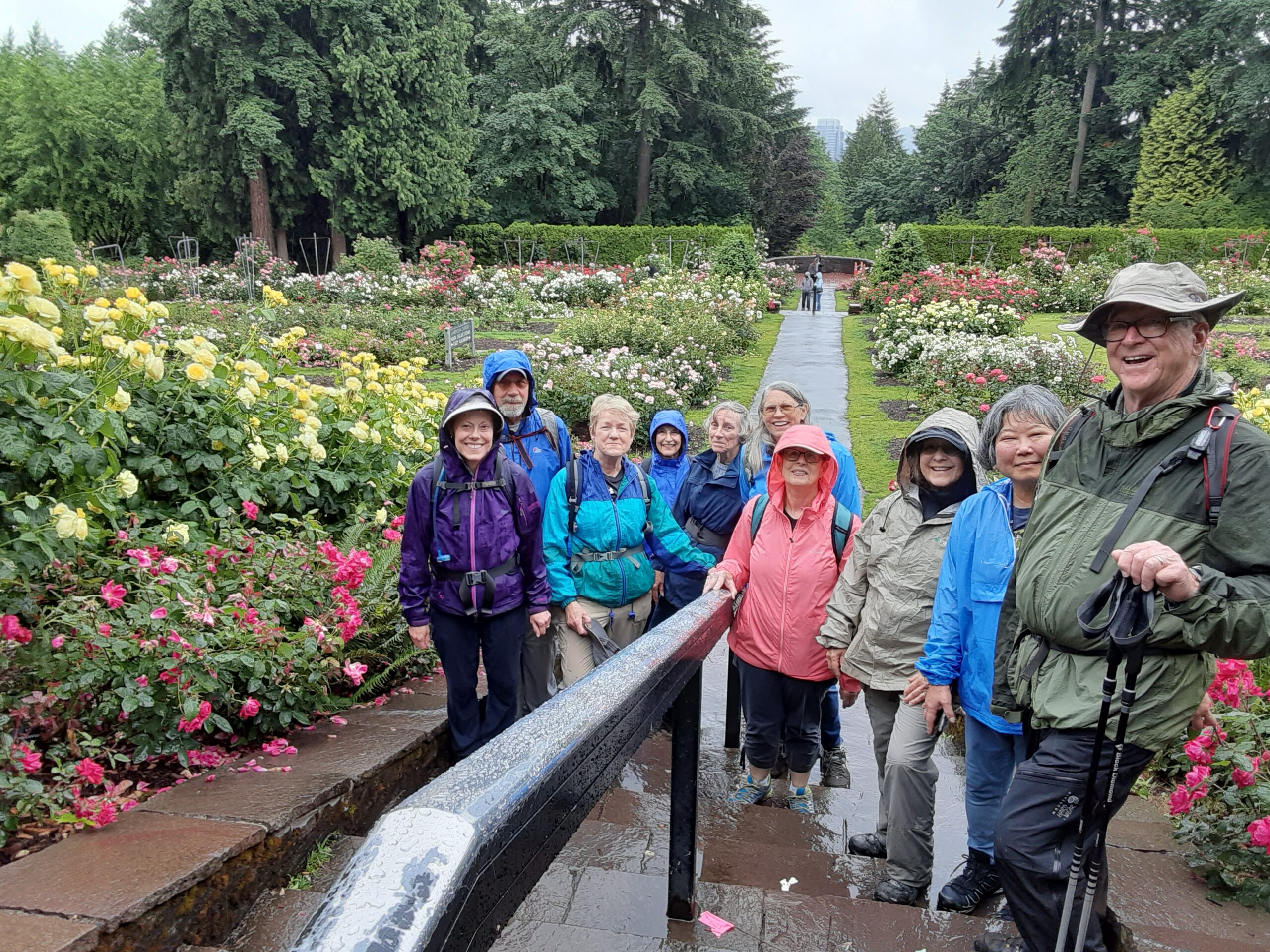
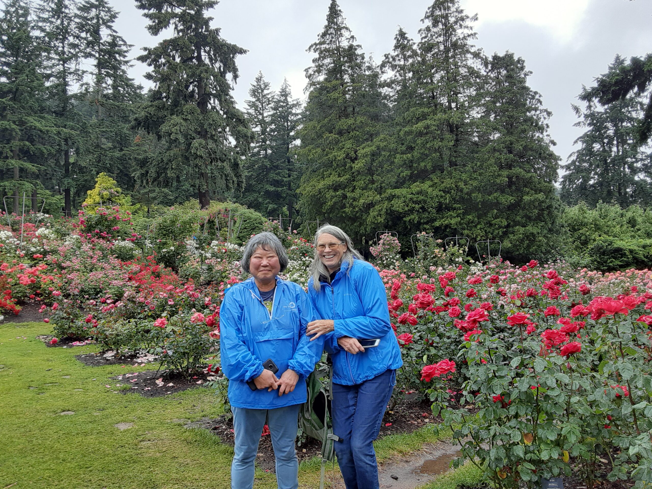
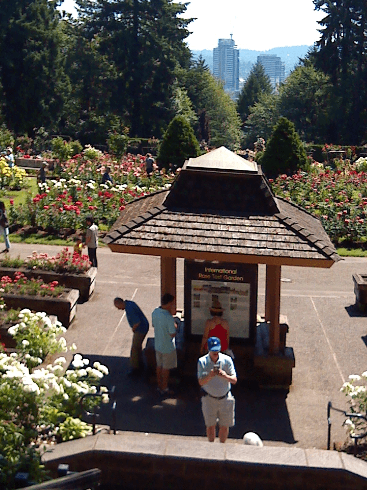
June 22 Washington Park - Rose Garden
We start at the Hoyt Arboretum visitor center and walk mostly on the Wildwood Trail in the shade of the trees and passing above the area of the Japanese Garden. At the halfway point of the loop, we arrive at the International Rose Test Garden, where we will “take time to smell the roses” and eat our lunch. Then we loop back to the start. Meet at 8:30 at the WSDOT Park and Ride lot (3031 Columbia House Blvd., Vancouver).
-
Trail Stats: Moderate 4 miles, 600’ elevation gain
-
Hike Leader: Linda Beno
-
Carpooling Fee: $9 per vehicle plus a parking fee $2.40 per hour or $9.60 per day
-
Trailhead: Hoyt Arboretum Visitor Center
-
Parking Pass: None


ESC to return
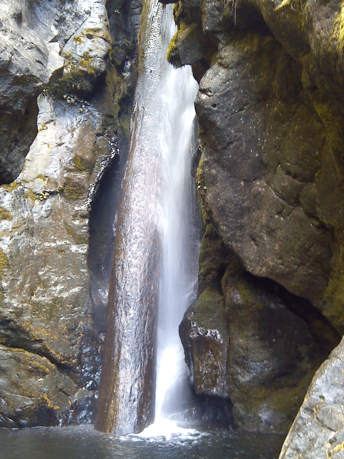
June 29 Falls Creek Falls
Hike to a spectacular triple-tiered 250’ high waterfall in the Gifford Pinchot National Forest. Much of the trail is creek-side through a beautiful old growth forest. Trail has some rocky and tree-rooted areas. Meet at 8:30 at the Pendleton Woolen Mill in Washougal (2 Pendleton Way, SW corner of parking lot).
-
Trail Stats: Moderate 3.4 miles, 650’ elevation gain
-
Hike Leader: Tammy Silver
-
Carpooling Fee: $35 per vehicle shared by passengers and driver.
-
Trailhead: Falls Creek Falls
-
Parking Pass: NW Forest Pass or Senior Pass or $5.00 day fee
July 6 West and East Green Mountain Trails
Hike in 115+ acres of mostly forested land in Camas. Enjoy the deciduous and evergreen trees and the abundance of ferns in this shaded area. Hike on both the west and the east sides of Green Mtn. and to the viewless top. Along the way there are some scenic spots. Option to go to Oak Tree Station – the food truck court nearby- for lunch. Meet at 8:30 in the parking lot on the left, just past 9527 N Boxwood St., Camas in the Green Mtn Development.
-
Trail Stats: Moderate 5 - 6 miles, 900’ elevation gain
-
Hike Leader: Tammy Silver
-
Carpooling Fee: No organized carpooling
-
Trailhead: West Green Mountain, adjacent to 9527 N Boxwood St, Camas
-
Parking Pass: None
July 13 Battle Ground Lake State Park
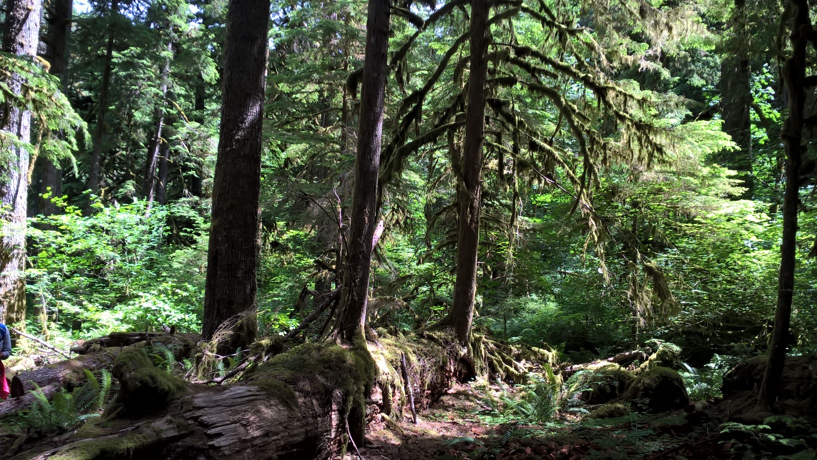
A hike on a network of evergreen forested trails with giant sword ferns and lush hanging moss around a crater lake of volcanic origin. We will start on the outer trail and ascend and descend through a variety of trails that include views of the lake, ultimately descending to the lower lake trail with the last ¾ mile being a walk along the lake with views of seasonal wildlife. There is an outhouse toilet at the lower parking lot and some other outhouses and flush toilets throughout the park. Meet at 8:30 at the Battle Ground Safeway (904 W Main St, Battle Ground, west end of parking lot).
-
Trail Stats: Moderate 4.2 miles, 500’ elevation gain
-
Hike Leader: Diane Sill
-
Carpooling Fee: $3 per vehicle + $10 WA Discover Day Pass fee shared as usual
-
Trailhead: Battle Ground Lake State Park – Park in LOWER parking lot, you will see the parking lot entrance on the left, right after you enter the park grounds
-
Parking Pass: Discover Pass
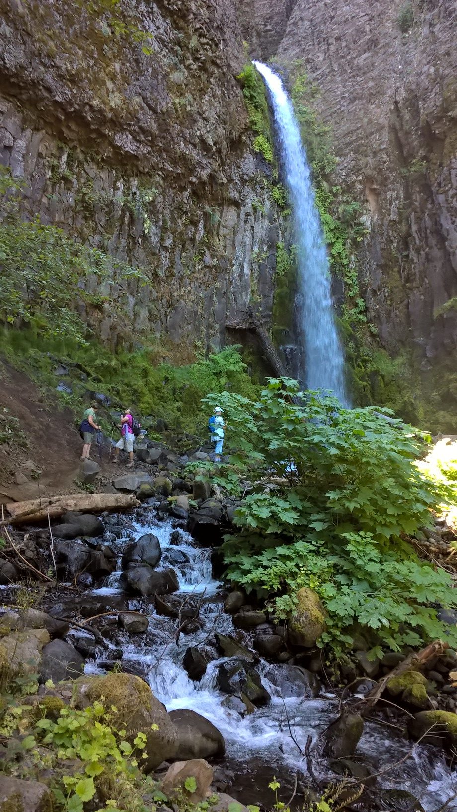
July 20 Dry Creek Falls
Hike to Dry Creek Falls in the Gorge near Cascade Locks. The trail follows part of the Pacific Crest Trail with the little-visited falls at the turnaround point. It is a gradual climb on a rocky trail. Meet at 8:30 at the Pendleton Woolen Mill in Washougal (2 Pendleton Way, SW corner of lot).
-
Trail Stats: Moderate 4.2 miles, 600’ elevation gain
-
Hike Leader: Jon Thatcher & Siobhan S
-
Carpooling Fee: $19 per vehicle + $6 toll fees shared by passengers and driver
-
Trailhead: Dry Creek Falls
-
Parking Pass: NW Forest Pass or Senior Pass

ESC to return
July 27 Twin Lakes
This hike passes through a hemlock and fir forest to two beautiful alpine lakes in Mt. Hood Wilderness. Part of this hike is on the Pacific Crest Trail. The drive is about 1.5 hours one way. Meet at 8:30 at Fred Meyers (11325 SE Mill Plain Blvd, SW side by gas station).
-
Trail Stats: Moderate 6.5 miles, 840’ elevation gain
-
Hike Leader: Cathy Darragh
-
Carpooling Fee: $44 per vehicle shared by passengers and driver
-
Trailhead: Twin Lakes at the Frog Lake Snow Park, MP 62 on Hwy 26
-
Parking Pass: NW Forest Pass or Senior Pass

ESC to return
August 3 Mirror Lake
A moderate hike through beautiful old growth forest to a subalpine lake mirroring Mt. Hood. Hike around the lake and then return by the same trail. The trail has many bridge crossings of picturesque forest streams. Meet at 8:30 Fred Meyers (11325 SE Mill Plain Blvd, SW side by gas station).
-
Trail Stats: Moderate 4.2 miles, 672’ elevation gain
-
Hike Leader: Cathy Darragh
-
Carpooling Fee: $37 per vehicle shared by passengers and driver
-
Trailhead: Mirror Lake
-
Parking Pass: NW Forest Pass or Senior Pass
August 10 Moulton Falls
Hike a flat gravel trail along the Lewis River in a forested park, crossing a high bridge, hiking across NE Lucia Falls Rd up to Yacolt Falls (slight elevation gain), then back down to Moulton Falls for lunch. Pit toilet at Hantwick Trailhead and bathrooms after crossing the bridge. Meet at 8:30 at the Battle Ground Safeway (904 W Main St, Battle Ground, west end of the parking lot).
-
Trail Stats: Easy 5 miles, slight elevation gain
-
Hike Leader: Diane Sill
-
Carpooling Fee: $8 per vehicle shared by passenger and driver
-
Trailhead: Hantwick Road Trailhead north of Battle Ground
-
Parking Pass: None

ESC to return
August 17 June Lake and Upper Lava Canyon
On the side of Mt. St. Helens, the trail climbs through a second-growth fir forest along a rushing stream before reaching a lake with a lovely 40’ waterfall on this out and back trail. Then drive 5 miles to Lava Canyon TH to explore the beautiful area of the upper Lava canyon. Hike a 1.4 mile out and back trail. Restrooms available and picnic tables for lunch. Meet at 8:30 at Safeway (904 W Main St, Battle Ground, west end of the parking lot).
-
Trail Stats: Moderate 3.2 miles, 500’ elevation gain then 1.4 miles, 300’ elev. gain
-
Hike Leader: Robin Bean
-
Carpooling Fee: $33 per vehicle shared by passengers and driver
-
Trailhead: June Lake
-
Parking Pass: NW Forest Pass or Senior Pass
August 24 Whistle Punk Interpretive Trail, PCT to Overlook, Panther Creek Falls
This outing includes one longer and two shorter stops, all in the same general Thornton Munger research area north of Carson with drives in between. First, we will go to Whistle Punk Trail, where we take a 1.5-mile walk having 174’ elevation gain around a historical logging operation. The trail has interpretive signs. Then we drive a short distance to hike a portion of the Pacific Crest Trail, an uphill 4 mile out and back hike with a 700 ft. elevation gain in a wooded area climbing to a lookout (where we stop to eat). Finally, (do not change out of your hiking boots yet and take poles) we drive about 8 miles to a very scenic Panther Creek Falls, a downhill hike (and back up!), .3 miles RT to a scenic view of a beautiful waterfall. 114’ descent. Slippery conditions and some mud could be on this trail if there has been recent rain, some drop-offs. Meet at 8:30 at the Pendleton Woolen Mill in Washougal (2 Pendleton Way, SW corner).
-
Trail Stats: Moderate 5 miles total, 174’ then 700’ then 114’ elevation gain
-
Hike Leader: Jon Thatcher & Siobhan S
-
Carpooling Fee: $35 per vehicle shared by passengers and driver
-
Trailhead: Whistle Punk Trail (to begin hike)
-
Parking Pass: NW Forest Pass or Senior Pass
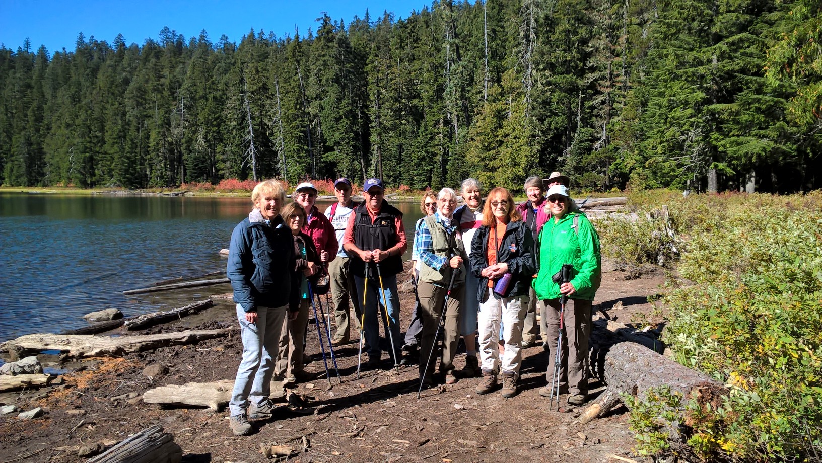
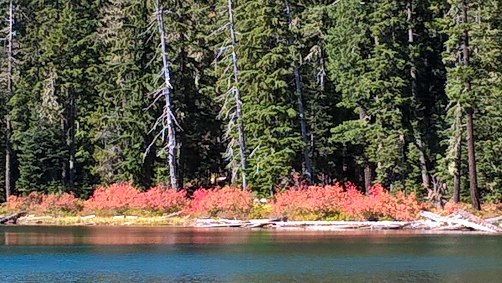
August 31 Toutle Trail #238 to Blue Lake from Red Rocks Pass Trailhead
This trail in the Gifford Pinchot National Forest area starts from the Red Rock Pass trailhead and goes up to Mt. St. Helen’s Monument area into an ancient lava flow, then goes into meadows with huckleberries to mixed forest. The trail crosses one rocky ravine to get to Blue Lake. Road to trailhead has potholes. Meet at 8:30 at Safeway (14300 NE 20th Ave at the left end of the lot by Starbucks).
-
Trail Stats: Moderate 7.5 miles, 800’ elevation gain
-
Hike Leader: Penny McLaren
-
Carpooling Fee: $29 per vehicle shared by passengers and driver
-
Trailhead: Red Rock Pass
-
Parking Pass: NW Forest Pass or Senior Pass
September 7 Labor Day Holiday – No Hike
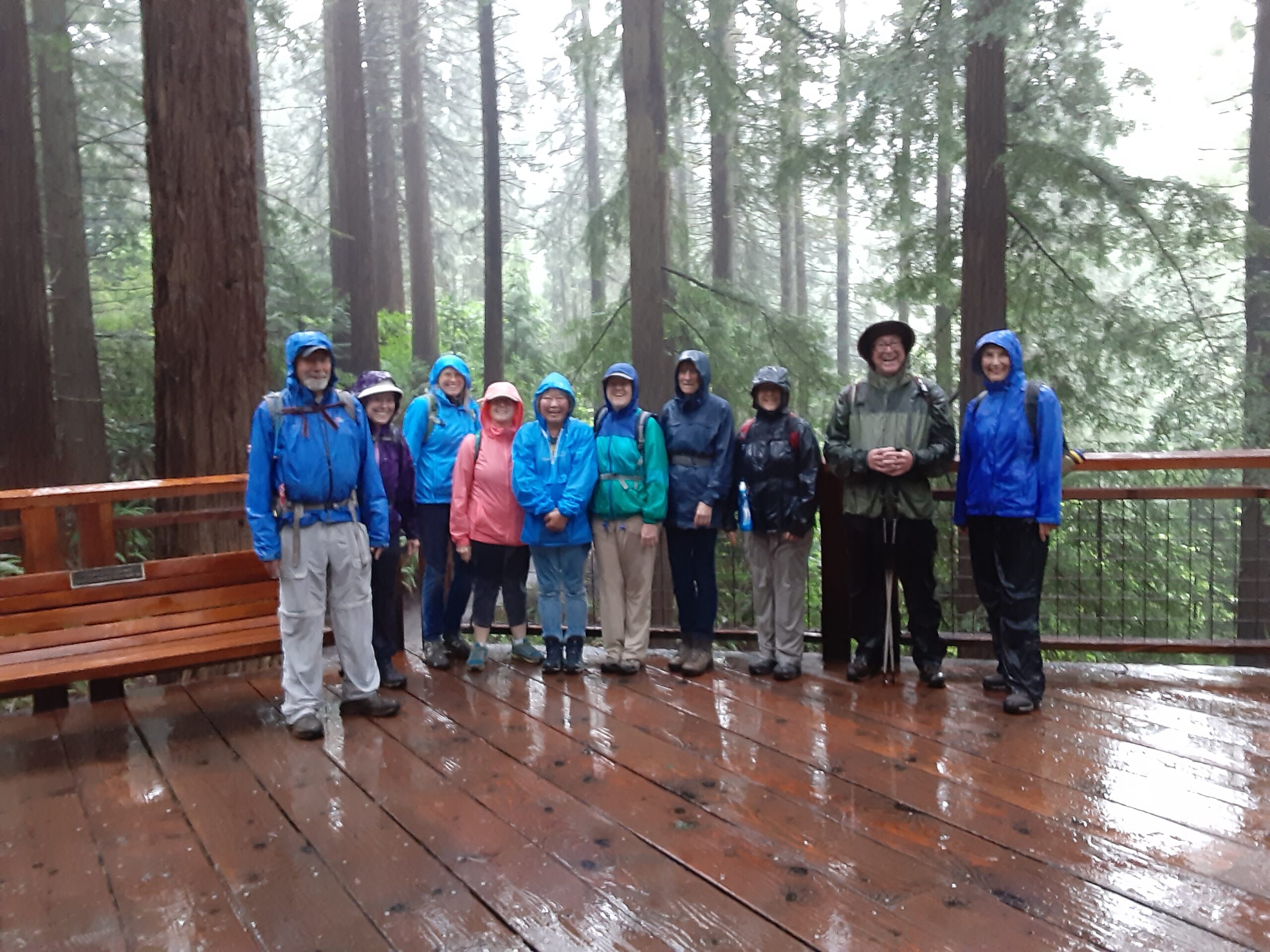
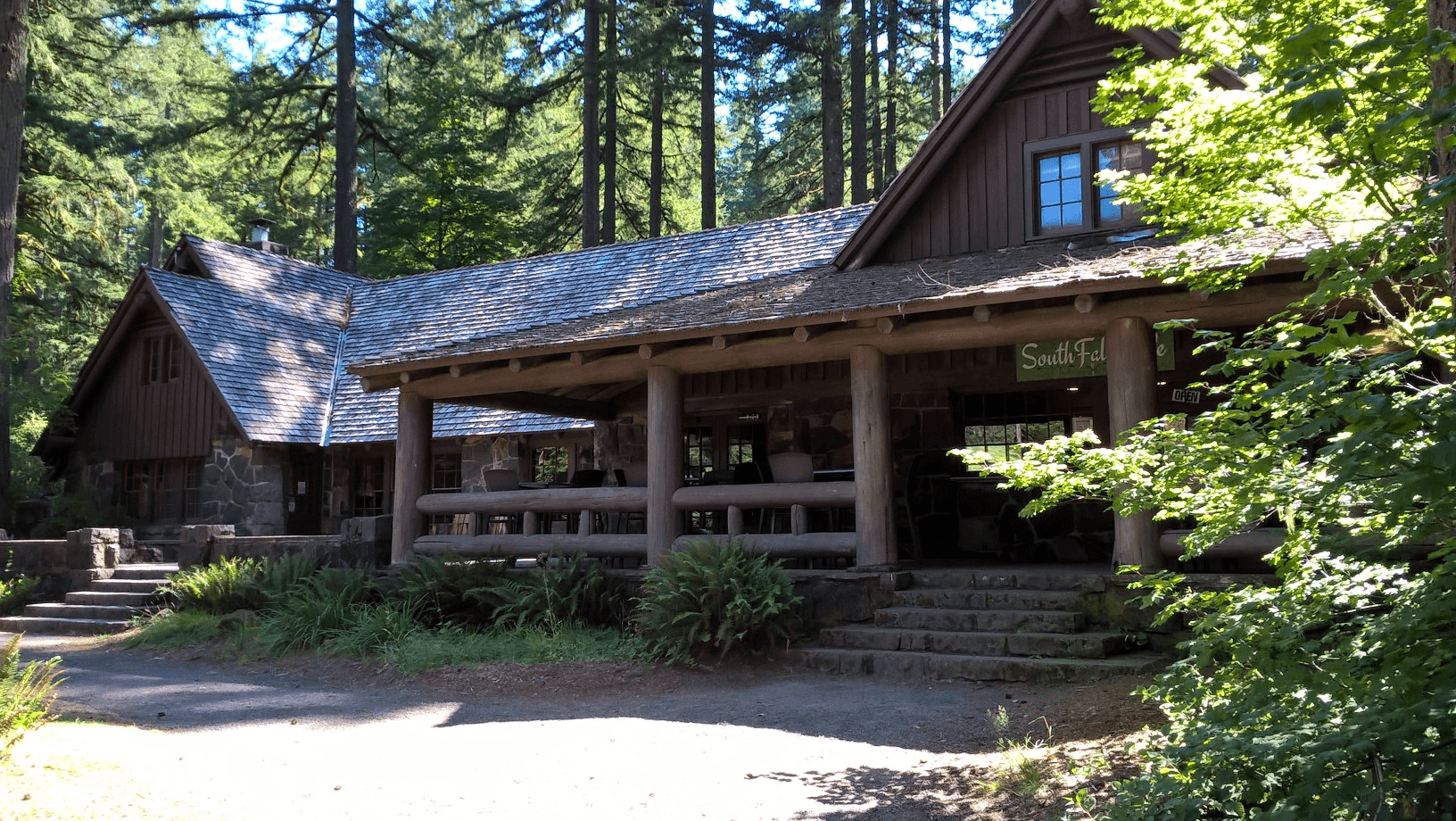
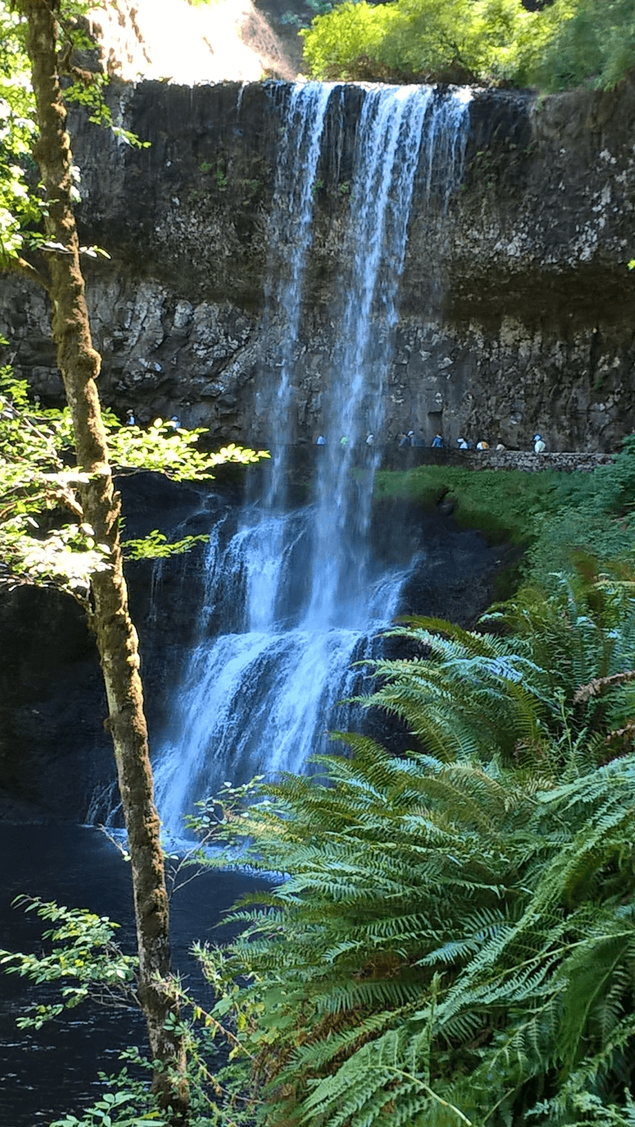
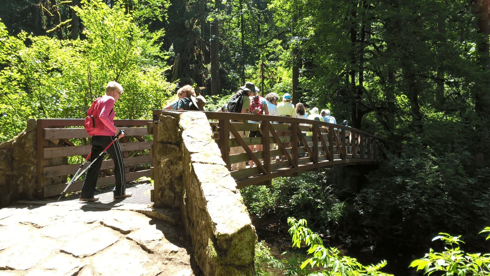
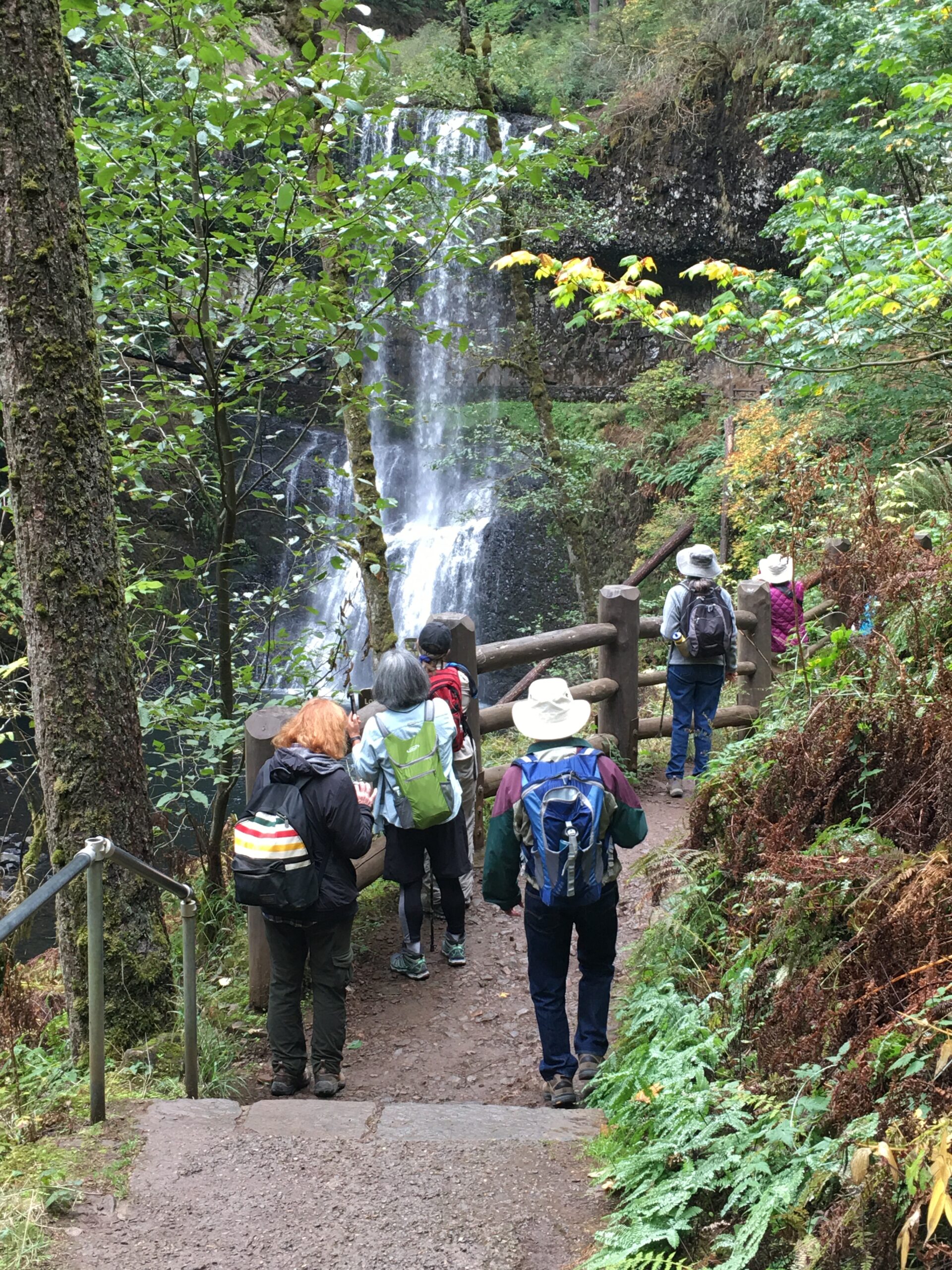
September 14 Silver Falls
Hike the Trail of Ten Falls near Silverton, Oregon, in Silver Falls State Park. It is a mostly shaded hiking trail that weaves through a dense forested canyon. The trail passes a series of beautiful waterfalls along the canyon, descending to a winding creek at the forest floor. We will hike up to 5 miles of the entire trail, with an elevation gain of about 400 ft. A second option is to hike 8.2 miles with an elevation gain of 900 feet and carpool accordingly. 128-mile drive RT. Meet at 8:30 at the Fred Meyers (11325 SE Mill Plain Blvd, SW side by gas station).
-
Trial Stats: Moderate 5 miles, 400’ elevation gain or 8.2 miles, 900’ elevation gain
-
Hike Leader: Sally Galligan
-
Carpooling Fee: $44 per vehicle + $12 park fee shared by passengers and driver
-
Trailhead: Silver Falls State Park South Entrance
-
Parking Pass: Oregon State Park Day Pass


ESC to return
September 21 Gillette Lake
This is an out and back hike to Gillette Lake. It is on the Washington side of the Columbia River, starting from a trailhead near the Bonneville Dam Visitor Center. A short way from the trailhead, the trail joins the Pacific Crest Trail. This deciduous and pine wooded trail will pass through a clear cut and underneath power lines before it arrives at the lake which is the lunch stop and turnaround point. Meet at 8:30 a.m. at Pendleton Woolen Mill in Washougal (2 Pendleton Way, SW corner of parking lot).
-
Trail Stats: Easy 5.7 miles, 512’ elevation gain
-
Hike Leader: Mary Lee Allen
-
Carpooling Fee: $17 per vehicle shared by passengers and driver
-
Trailhead: Bonneville Trailhead on WA-14 opposite the dam
-
Parking Pass: NW Forest Pass or Senior Pass
September 28 Old Salmon River Trail
The trail is along the Salmon River between the river and Salmon River Road. It goes through old growth forest near Mt. Hood. We hope to see salmon in the river. Meet at 8:30 at Fred Meyers (11325 SE Mill Plain Blvd, SW side by gas station).
-
Trail Stats: Easy 5.2 miles, 100’ elevation gain
-
Hike Leader: Linda Beno
-
Carpooling Fee: $34 per vehicle shared by passengers and driver
-
Trailhead: Salmon River Trail
-
Parking Pass: NW Forest Pass or Senior Pass


ESC to return
October 5 Portland’s 5-T Urban Adventure (or maybe the 4-T Adventure) TBD
Take the Train, Tilikum Bridge, Tram, Trolley and Trail. This moderate urban hike is a good way to get to know Portland and its transportation options. From the Gateway Transit Center, we will take the train to the Tilikum Bridge. We will walk across and return. From there, we will have a short walk to the OHSU tram where we will ride up, take in the view and ride down. Then we catch the trolley through Portland to catch a train to Washington Park. We will walk through the Veterans Memorial then return to the train for a short trip to Goose Hollow Inn for lunch. We will return by train to Gateway Transit Center. A Trimet day pass is $5.60 for age 64 and under and $2.80 for 65+. This covers the fare for train and trolley. To load the day pass you need a HOP card which costs $3. Cost to ride the tram is $8.75 for the round trip. For this adventure we meet at 8:30 at Fred Meyers Mill Plain (11325 SE Mill Plain Blvd, SW side by gas station). We will carpool to the Gateway Transit Center. Hike Leader: Robin Bean
October 12 Coldwater Lake via Lakes Trail
Hike a gorgeous trail along the northern side of Coldwater Lake at Mt. St. Helens. There are some stunning lake and mountain views plus a waterfall along the way. The trail meanders up and down as it travels through treed and exposed areas. Challenges consist of some overgrown sections and ticks. Meet at 8:30 at Safeway (14300 NE 20th Ave at the left end of the lot by Starbucks).
-
Trail Stats: Moderate 8.8 miles, 770’ elevation gain
-
Hike Leader: Jan White
-
Carpooling Fee: $60 per vehicle shared by passengers and driver (176 miles RT)
-
Trailhead: Coldwater Lake Trailhead at Coldwater Lake Recreation Area
-
Parking Pass: NW Forest Pass or Senior Pass or $5 per vehicle daily fee
October 19 Wahkeena Falls to Multnomah Falls
This hike starts with a 2-mile steep climb to a ridge above the top of Wahkeena Falls and continues east into the forest above Multnomah Falls. Hike at times next to the stream that feeds Wahkeena Falls and then by stream which feeds Multnomah Falls. View unexpected waterfalls. Meet at 8:30 at Fred Meyers (11325 SE Mill Plain Blvd, SW side by gas station).
-
Trail Stats: Difficult 5.4-mile loop, 1600’ elevation gain
-
Hike Leader: Kim Chenault
-
Carpooling Fee: $20 per vehicle shared by passengers and driver
-
Trailhead: Multnomah Falls (use parking lot off I-84)
-
Parking Pass: None